Stakeholders want updates. Site visits don’t scale.
As a project manager, you need a dependable way to brief owners and keep reviews moving without adding another site visit.
 Illustrative imagery
AERIAL DOCUMENTATION · UTAH & IDAHO
Recurring aerial progress documentation, mapping outputs, and interactive 3D site experiences for engineering, construction, and land development teams across Utah and Idaho.
01 FAA Part 107 Certified
02 Commercially Insured
03 Utah & Idaho Coverage
04 Organized, Date-Stamped Delivery
THE PROBLEM WE SOLVE
As a project manager, you need a dependable way to brief owners and keep reviews moving without adding another site visit.
Once utilities and early-phase work are covered, you need a dated visual record to bring into later reviews.
When updates live on individual phones, your team can’t reliably find or compare the record at the next decision point.
INDUSTRIES WE SUPPORT
 01 / CONSTRUCTIONIllustrative imagery
Weekly or monthly progress documentation for owner reports, schedule reviews, and milestone records.
 02 / ENGINEERING & INFRASTRUCTUREIllustrative imagery
Existing-conditions documentation, site overviews, and mapping outputs that support design, review, and reporting.
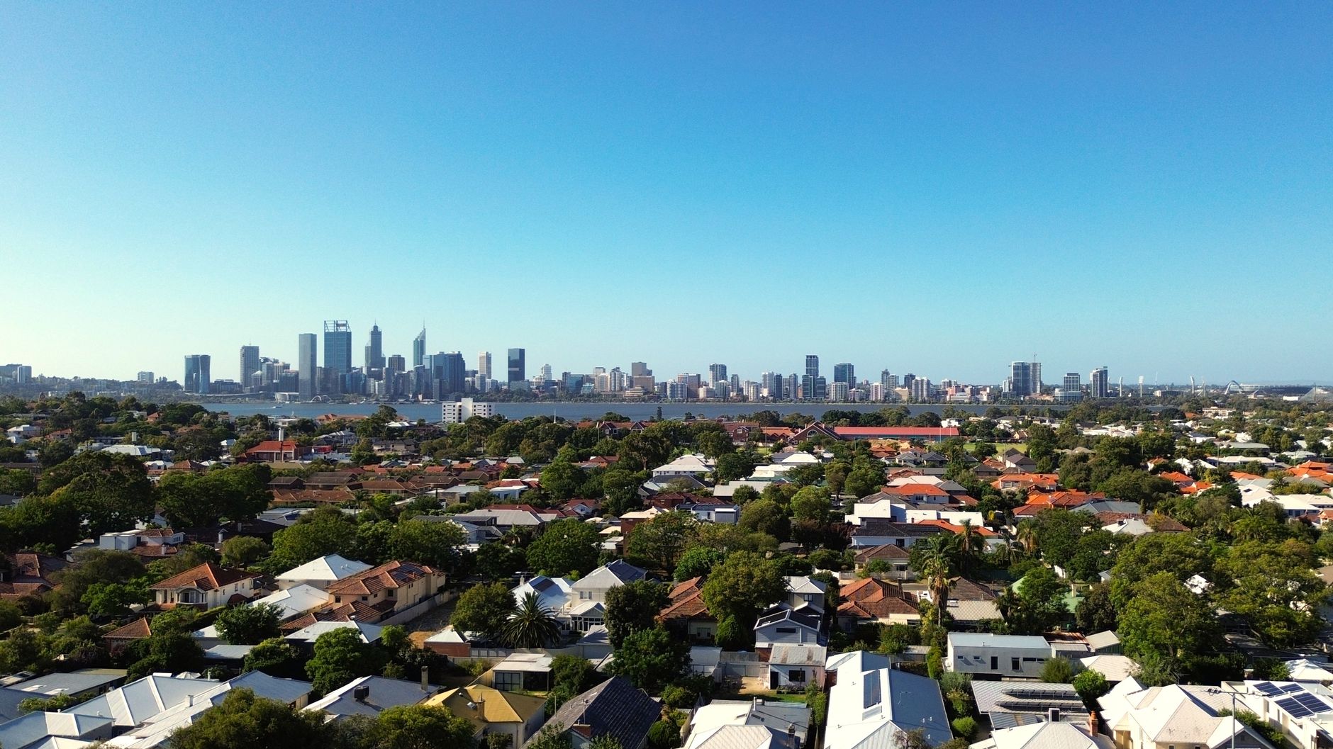 03 / LAND DEVELOPMENTIllustrative imagery
Organized aerial records of utilities, roads, and drainage, plus interactive lot-status tours for sales and investors.
WHAT YOU RECEIVE
[PLACEHOLDER: date-stamped visit record] [PLACEHOLDER: orthomosaic mapping output][PLACEHOLDER: before and after comparison set]
 [PLACEHOLDER: annotated progress video][PLACEHOLDER: executive PDF summary][PLACEHOLDER: interactive 360° and 3D site experience]
*Survey-grade accuracy delivered with licensed surveying partners when required.
PROGRESS COMPARISON
[PLACEHOLDER: Add an approved real project image pair.]
HOW IT WORKS
We learn your timeline, stakeholders, and reporting needs.
Consistent flight paths and intervals make each visit comparable.
Date-stamped files go to Dropbox, Google Drive, Procore, or SharePoint.
Monthly summaries and quarterly reviews keep everyone aligned.
RECURRING ENGAGEMENTS
While single-visit documentation is available, projects of this scale typically benefit from recurring visibility intervals that keep stakeholders coordinated and reporting continuous.
Explore engagement optionsILLUSTRATIVE OVERLAY · STATUS SET BY PROJECT
INTERACTIVE SITE EXPERIENCES
Interactive 3D/360° tours can bring lot lines, phase boundaries, and status overlays—available, under contract, or sold—into one site experience that owners, investors, and buyers can explore from anywhere.
Explore the land-development demoQUESTIONS FROM PROJECT TEAMS
Many teams start with us alongside an existing provider. What usually changes is the structure: consistent capture intervals, organized date-stamped files, and reporting that stakeholders actually read.
Absolutely. Pricing depends on scope, visit frequency, and deliverables, so a short conversation lets us recommend the right structure instead of guessing.
When a project requires survey-grade accuracy, we deliver it with licensed surveying partners and ground control, and we confirm accuracy requirements before any proposal.
We confirm the expected delivery schedule for each project before work begins, then organize and date-stamp files in the platform your team already uses.
Yes. We serve Utah and Idaho and travel for multi-visit projects.
START WITH THE PROJECT