COMMERCIAL SITE INTELLIGENCE
Aerial documentation
for active projects.
Repeatable progress records, mapping outputs, and interactive site experiences for construction, engineering, and land development teams.
Request a Project Recommendation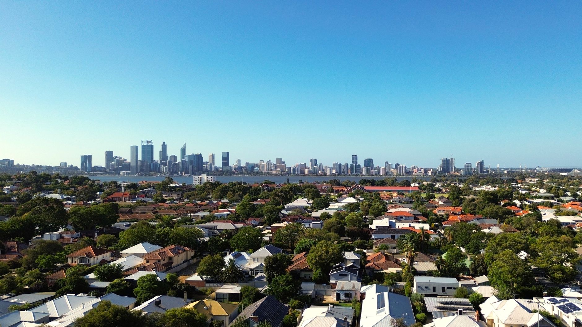 Illustrative imagery
01 / PROGRESS DOCUMENTATION
Repeatable records
through each phase.
Plan single or recurring visits around milestones and reporting needs. Each delivery can include date-stamped progress imagery, comparison sets, and concise summaries.
Reporting deliverables
- Date-stamped progress imagery
- Progress comparison sets
- Short annotated progress videos
- Executive PDF summaries
- Organized project records
02 / MAPPING OUTPUTS
Site context
for technical review.
Mapping, orthomosaics, and photogrammetry are available for project planning and review. When survey-grade accuracy is required, that work is coordinated with qualified technical and licensed surveying partners.
Scope confirmed up front
- Existing-conditions documentation
- Site overviews and orthomosaic maps
- Mapping outputs for project review
- Coordinate systems and accuracy needs discussed before proposal
03 / INTERACTIVE SITE EXPERIENCES
Your site in
one shareable link.
Interactive 3D/360° experiences can bring lot lines, phase boundaries, and status overlays into a site view that owners, investors, and buyers can explore remotely.
Explore the land development demoBuilt around your site
- Interactive 360° views
- 3D site experiences
- Lot-line and phase overlays
- Lot status such as available, under contract, or sold
SCOPE THE RIGHT DELIVERABLES
Tell us what your team needs to track.
We’ll recommend a documentation structure for your timeline and stakeholders.